

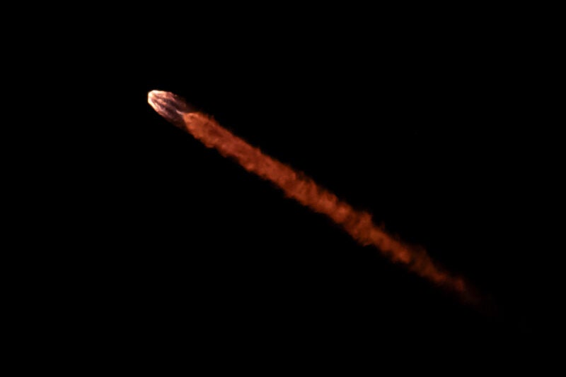
SpaceX successfully executed the launch of the CAS500-2 mission from Vandenberg Space Force Base in California, marking a significant milestone for South Korea’s national space program and a wide array of international commercial partners. The Falcon 9 rocket lifted off at precisely 12:00 a.m. PT on Sunday, May 3, carrying a total of 45 payloads into a sun-synchronous orbit. The primary passenger for this mission was the CAS500-2 (Compact Advanced Satellite 500-2), a high-resolution Earth observation satellite developed by the Korea Aerospace Research Institute (KARI). Following the ascent and the successful separation of the first and second stages, SpaceX confirmed the deployment of all 45 satellites, reinforcing the company’s dominance in the dedicated and rideshare launch markets.
The mission represents a critical step in the diversification of orbital assets, ranging from sovereign intelligence and wildfire monitoring to direct-to-device telecommunications and autonomous orbital vehicles. By utilizing the Falcon 9’s heavy-lift capacity for a multi-payload manifest, the mission highlighted the growing accessibility of space for both governmental agencies and private startups.
The Primary Mission: South Korea’s CAS500-2
The CAS500-2 is the second satellite in South Korea’s "Compact Advanced Satellite" program, designed to provide high-resolution imagery for various government applications. Developed primarily by KARI with significant industrial cooperation from Korea Aerospace Industries (KAI), the 500-kilogram class satellite is equipped with an advanced electro-optical payload capable of capturing imagery at sub-meter resolution.
The data provided by CAS500-2 is intended for use in land management, agricultural monitoring, and disaster response. By establishing a domestic pipeline for satellite manufacturing and data acquisition, South Korea continues to reduce its reliance on foreign orbital assets. The success of this launch follows the CAS500-1 mission, further solidifying the nation’s technical capability to design and operate sophisticated remote sensing platforms. This mission is part of a broader strategic initiative by the South Korean government to foster a private-sector-led space industry, shifting the focus from state-run research to commercial viability.
Advancing Direct-to-Device Connectivity: Lynk Global
Among the notable secondary payloads were two satellites from Lynk Global, identified as Tower 7 and Tower 8. These "cell towers in space" are integral to Lynk’s mission to provide ubiquitous mobile connectivity directly to standard, unmodified cellular devices. The deployment of these two units brings Lynk closer to its goal of providing continuous global coverage, specifically targeting "dead zones" where terrestrial infrastructure is absent or has been destroyed by natural disasters.
Ramu Potarazu, CEO of Lynk Global, recently emphasized the company’s aggressive timeline for commercial rollout. Speaking at SATShow Week, Potarazu noted that the company is on track to deliver full-scale connectivity to its global customer base by mid-2027. The addition of Tower 7 and Tower 8 allows Lynk to increase the frequency of its satellite passes over specific geographic regions, reducing latency and moving the company from periodic messaging services toward real-time communication capabilities.
EarthDaily Analytics and the Era of Global Change Detection
The mission also served as a pivotal moment for Vancouver-based EarthDaily Analytics, which successfully deployed six satellites. This launch is a precursor to the company entering full commercial service later this year. The EarthDaily constellation is uniquely engineered for "Global Change Detection," a specialized field of Earth observation that focuses on high-revisit rates and consistent spectral calibration.
In a recent interview with Via Satellite, EarthDaily CEO Don Osborne explained that the constellation’s design allows for the entire landmass of the Earth to be imaged every day at a consistent time. This data is particularly valuable for the ESG (Environmental, Social, and Governance) sector, large-scale agriculture, and global supply chain monitoring. By providing a scientific-grade data stream that can detect minute changes in vegetation, water levels, and urban expansion, EarthDaily aims to provide decision-makers with a "daily heartbeat" of the planet’s health.
Space Security and Autonomous Operations: True Anomaly
Highlighting the increasing focus on space domain awareness and orbital security, True Anomaly launched its "Jackal" autonomous orbital vehicle. The mission comes on the heels of a massive $650 million funding round, signaling strong investor confidence in the company’s vision for "Space Security as a Service."
The Jackal is designed to perform close-proximity operations, allowing it to inspect other satellites or debris in orbit. As the orbital environment becomes increasingly crowded and contested, the ability to maneuver autonomously and gather high-fidelity data on other space objects has become a priority for both commercial operators and national defense agencies. True Anomaly’s mission on the Falcon 9 serves as a proof-of-concept for its integrated hardware and software stack, which seeks to provide transparency and security in an era of heightened geopolitical tension in space.
European Contributions and the IRIDE Program
The manifest included seven HEO (High Earth Orbit) satellites from the Italian aerospace company Argotec. These satellites are part of the "Hawk for Earth Observation" constellation, which contributes to Europe’s ambitious IRIDE program. IRIDE is one of the most significant space initiatives funded by the Italian government through the National Recovery and Resilience Plan (PNRR), with support from the European Space Agency (ESA).
The IRIDE constellation is intended to be a multi-sensor system, combining radar, optical, and infrared capabilities to monitor the Mediterranean region and beyond. Argotec’s involvement underscores the role of small-satellite technology in large-scale government programs. The Hawk satellites are designed to provide high-revisit optical data, which will assist in monitoring coastal erosion, detecting oil spills, and managing wildfires across Europe.
Planet’s High-Resolution Evolution: The Pelican Satellites
Planet, a veteran in the Earth observation industry, contributed three Pelican satellites to the mission. The Pelican class represents the next generation of Planet’s high-resolution fleet, designed to replace and augment the existing SkySat constellation. These satellites offer significant improvements in temporal resolution—the speed at which a satellite can be tasked to image a specific location—and spatial resolution.
The Pelican satellites are optimized for rapid response, allowing customers to request and receive imagery within hours rather than days. This capability is crucial for news organizations, disaster relief agencies, and defense intelligence, where the value of information is often tied to the speed of its delivery. The deployment of these first three units marks the beginning of a transition for Planet as it scales its fleet to meet the demands of a more "real-time" data market.
Exolaunch and the Democratization of Orbit
The bulk of the rideshare manifest was managed by Exolaunch, a global leader in launch mission management and deployment systems. Exolaunch facilitated the deployment of 39 customer satellites, including 18 microsatellites and 21 cubesats. This diverse group of payloads highlights the international nature of the modern space economy:
- Iceye: The mission included two satellites for Iceye, the Finnish leader in Synthetic Aperture Radar (SAR). These satellites provide sovereign intelligence capabilities, allowing nations to monitor their territories regardless of cloud cover or light conditions.
- Hellenic Space Center: Greece advanced its national space capabilities with the launch of the HELIOS and SELENE satellites. These assets are part of a broader Greek initiative to utilize space data for maritime security and environmental protection.
- OroraTech: The German startup OroraTech launched four satellites equipped with thermal infrared sensors. OroraTech specializes in wildfire detection and monitoring, providing early warnings to fire services globally to mitigate the impact of climate-driven fire events.
- Eycore: The mission saw the launch of Eycore-1, the first Polish synthetic aperture radar satellite. This marks a historic achievement for the Polish aerospace sector, providing the country with its own independent source of high-resolution radar data.
Launch Logistics and the Role of Vandenberg
The choice of Vandenberg Space Force Base for this mission was strategic. Located on the central coast of California, Vandenberg is the primary site for launches requiring polar or sun-synchronous orbits. These orbits are essential for Earth observation satellites like CAS500-2, Pelican, and the IRIDE satellites, as they allow the spacecraft to pass over the Earth’s poles and maintain a consistent angle relative to the sun, ensuring uniform lighting for imagery.
SpaceX’s ability to manage such a complex manifest—involving 45 satellites with varying deployment requirements—is a testament to the maturity of the Falcon 9 platform. The mission utilized a flight-proven first-stage booster, which successfully returned to Earth, landing on a drone ship in the Pacific Ocean. This reuse of hardware continues to drive down the cost of access to space, enabling startups like OroraTech and Eycore to reach orbit alongside established government agencies.
Broader Implications and Industry Analysis
The success of the CAS500-2 mission and its accompanying rideshare payloads reflects several key trends in the global space industry. First, the shift toward "Sovereign Space" is accelerating. Nations that previously relied on commercial data providers or allied nations for intelligence are now investing in their own constellations. The presence of Greek, Polish, and South Korean satellites on a single mission illustrates this drive for national orbital autonomy.
Second, the mission highlights the convergence of telecommunications and Earth observation. With companies like Lynk Global and EarthDaily Analytics on the same flight, it is clear that the "New Space" economy is no longer just about getting to orbit, but about the data and connectivity services provided once there.
Finally, the sheer variety of sensors—ranging from SAR and thermal infrared to high-resolution optical and D2D radio frequencies—suggests that the market is moving toward a multi-modal approach to data. Analysts expect that the integration of these various data streams will lead to new insights in climate modeling, global security, and economic forecasting.
As SpaceX continues its high-cadence launch schedule, missions like this serve as the backbone of a rapidly expanding orbital infrastructure. The deployment of 45 satellites in a single window demonstrates a level of operational efficiency that has become the new standard for the industry, paving the way for a future where space is a daily utility for the global population.
