
As warmer weather beckons and the call of the outdoors grows stronger, a recurring debate among nature enthusiasts resurfaces: the efficacy and relevance of traditional paper maps in an era dominated by advanced digital navigation tools. While smartphones equipped with GPS applications have become ubiquitous, offering real-time location tracking and turn-by-turn directions, a dedicated segment of outdoor adventurers steadfastly advocates for the continued, and often primary, use of physical maps. This preference is rooted not in nostalgia alone, but in a pragmatic understanding of reliability, cognitive engagement, and safety that paper maps inherently offer, particularly when venturing into remote or challenging terrain.
The Digital Revolution vs. Enduring Analog
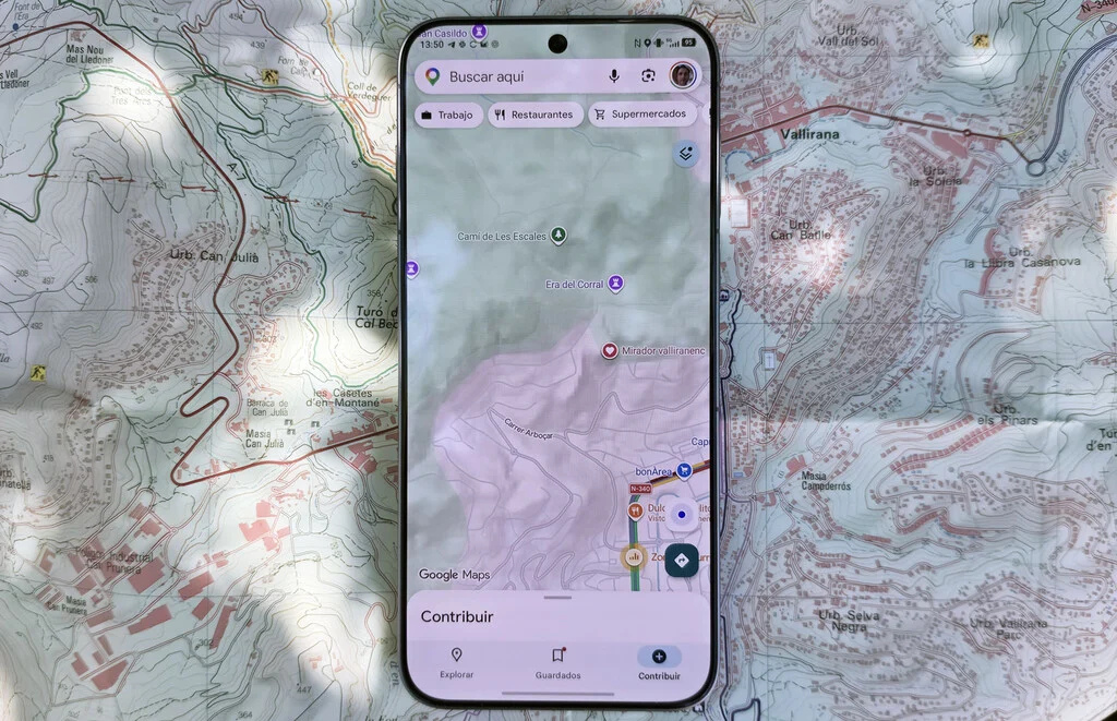
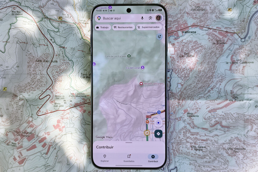
The 21st century has witnessed a profound transformation in how individuals navigate their surroundings. The advent of the Global Positioning System (GPS) in the 1990s, initially for military use, rapidly transitioned into civilian applications, fundamentally altering personal mobility. Companies like Google and Apple have integrated sophisticated mapping services into virtually every smartphone, providing instant access to global cartographic data. Applications such as Google Maps, Waze, Magic Earth, Wikiloc, and AllTrails offer features ranging from road navigation and traffic updates to detailed hiking trails, elevation profiles, and community-generated routes. These digital platforms have undeniably streamlined travel, making it easier than ever to reach a destination or explore new paths with a device that fits in one’s pocket.
However, the rapid ascent of digital navigation did not spell the complete obsolescence of its analog predecessor. While the traditional road atlas, once a staple in every vehicle, has largely been relegated to historical archives, specialized paper maps for outdoor recreation have maintained a robust presence. This distinction highlights a critical divergence in utility. For navigating urban streets or well-traveled highways, digital solutions are often superior due to their real-time data, traffic updates, and dynamic rerouting capabilities. But when the asphalt gives way to dirt trails, dense forests, or rugged mountainous terrain, the limitations of digital technology become more pronounced, and the timeless advantages of a paper map come into sharp focus.
The Unwavering Reliability of Paper
One of the most compelling arguments for the continued use of paper maps centers on their unparalleled reliability. Unlike electronic devices, a paper map does not require a power source. This seemingly simple fact is critical in outdoor environments where access to electricity is nonexistent, and battery life is a finite and often unpredictable resource. Cold temperatures, a common variable in many hiking and camping scenarios, can drastically reduce smartphone battery performance, sometimes by 50% or more. A day-long trek could easily deplete a phone’s charge, rendering its navigation capabilities useless precisely when they might be needed most. While external battery packs offer a partial solution, they add weight, can also be affected by temperature, and represent yet another potential point of failure.
Furthermore, paper maps are immune to signal loss, a pervasive issue for digital devices in remote areas. GPS signals can be obstructed by dense tree cover, deep canyons, or adverse weather conditions, leading to inaccurate readings or complete loss of positioning. Cellular data, essential for downloading and updating online maps, is frequently unavailable outside of populated areas, leaving users with only pre-downloaded maps, which may not always be up-to-date or sufficiently detailed for unexpected detours. A physical map, by contrast, operates independently of any external signal. Its information is static and always accessible, provided it is protected from the elements.
Durability is another significant factor. While a smartphone is a delicate piece of electronics susceptible to drops, water damage, and extreme temperatures, a quality paper map, especially those printed on synthetic, waterproof, and tear-resistant materials, can withstand considerable abuse. It can be folded, unfolded, exposed to rain or snow, and still perform its function. The ability to consult a map under direct sunlight without screen glare, a common frustration with digital displays, further underscores its practical superiority in varied outdoor conditions.
Cognitive Benefits and Deeper Engagement
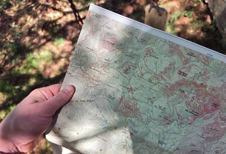
Beyond practical reliability, the use of paper maps offers distinct cognitive and experiential benefits that digital alternatives often fail to replicate. Engaging with a physical map encourages a more profound understanding of the landscape. Users are compelled to orient the map, identify landmarks, interpret contour lines representing elevation changes, and visualize the three-dimensional terrain. This process enhances spatial awareness, improves map-reading skills, and fosters a deeper connection to the environment. The act of planning a route by tracing it with a finger, observing potential challenges, and understanding the broader geographical context is an enriching mental exercise.
In contrast, following a blinking dot on a digital screen, while efficient, can lead to a passive form of navigation. Users might follow directions without truly internalizing their surroundings or developing an intuitive sense of direction. This reliance on automated guidance can diminish critical thinking skills essential for self-sufficiency in the wilderness. The original article’s sentiment that "losing yourself is part of the experience" resonates with this idea; not in the sense of being genuinely lost and in danger, but in the spirit of exploration and problem-solving that a paper map encourages. When navigating with a paper map, every turn, every ridge, every stream becomes a point of reference, demanding active observation and engagement with the physical world, rather than just the digital representation of it.
Moreover, choosing a paper map can facilitate a desired disconnection from technology. In an age where digital screens vie for constant attention, outdoor excursions are often sought as opportunities to unplug, clear the mind, and immerse oneself in nature. Relying on a smartphone for navigation can inadvertently perpetuate the digital tether, interrupting moments of tranquility with notifications or the temptation to check messages. A paper map allows adventurers to dedicate their full attention to the path, the scenery, and companions, fostering more present and meaningful experiences. This mental break from digital stimuli is increasingly valued as a component of well-being.
Limitations of Digital-Only Navigation
While digital apps have undeniably revolutionized convenience, their limitations in specific outdoor contexts are significant. The precision of GPS, often touted as a major advantage, can sometimes be a double-edged sword. In situations where a trail forks subtly, or an intersection is not clearly marked, a digital device might display the user’s position as being "on the trail" without accurately distinguishing between very close, parallel paths. This can lead to confusion or incorrect turns. A detailed topographical paper map, with its clear representation of subtle terrain features and multiple trail lines, can often provide the visual clarity needed to make the correct decision, especially when combined with real-world observation.
Furthermore, the smaller screen size of smartphones inherently restricts the amount of information viewable at any given moment. To get a comprehensive overview of a larger area, users must constantly zoom in and out, and pan across the map, a process that can be cumbersome and time-consuming, particularly with gloved hands or in adverse weather. A large-format paper map, by contrast, allows for an immediate and holistic view of the region, facilitating long-term route planning and understanding of the broader geography without constant manipulation.
The fragility of smartphones also poses a significant risk. A single drop onto a rock or an accidental immersion in water can render the device inoperable. While ruggedized phones and protective cases exist, they do not offer absolute immunity. The reliance on a single, vulnerable device for all navigation needs can be a dangerous gamble in remote wilderness settings where assistance might be hours or days away.
The Hybrid Approach: A Synergistic Solution
Most outdoor experts and search and rescue (SAR) organizations advocate for a hybrid approach to navigation, combining the strengths of both digital and analog tools. This strategy recognizes that neither method is unilaterally superior in all situations but that their combined use creates a robust and redundant system, significantly enhancing safety and preparedness.
Digital tools excel in the planning phase, allowing users to research routes, download GPX tracks, check weather forecasts, and view satellite imagery for a preliminary understanding of the terrain. Apps like Wikiloc allow users to record their own routes, share them with a community, and access a vast library of user-generated trails. During the actual excursion, a GPS-enabled smartphone can serve as an excellent real-time tracker, confirming one’s position on a pre-loaded map and providing distance and elevation data.
However, the paper map, along with a compass, should ideally serve as the primary navigation tool and, crucially, as an essential backup. Many SAR teams routinely find individuals who are lost despite having a smartphone, often due to dead batteries, water damage, or lack of signal. Their consistent recommendation is for hikers to carry a physical map of the area, know how to read it, and be proficient in using a compass. This ensures that even if all electronic devices fail, a reliable means of navigation remains available.
Cartographers and specialized publishers continue to produce high-quality topographical maps specifically tailored for outdoor activities. These maps often include detailed contour lines, trail markers, water sources, points of interest, and sometimes even emergency contact information. Publishers have adapted by offering waterproof versions and partnering with digital platforms to ensure their data is accurate and up-to-date. National parks and conservation areas frequently provide or sell their own detailed maps, which not only serve as navigational aids but also as valuable educational resources and cherished souvenirs of an adventure.
Expert Recommendations and Safety Implications
The consensus among professional outdoor guides, search and rescue personnel, and experienced adventurers is unequivocal: never rely solely on a smartphone for navigation in the backcountry. Organizations such as the National Park Service and various state park systems consistently emphasize the "Ten Essentials" for outdoor safety, which prominently include a map and compass. The rationale is simple: preparedness through redundancy.
Statements from SAR teams frequently highlight incidents where hikers, confident in their smartphone’s abilities, found themselves in distress when technology failed. These situations underscore the importance of traditional navigation skills, which are not innate but must be learned and practiced. Training courses in map and compass use are widely available and highly recommended for anyone venturing into unfamiliar territory. The ability to triangulate one’s position, understand magnetic declination, and interpret terrain features on a map are fundamental survival skills that transcend technological reliance.
The broader implication is a call for greater self-reliance and environmental literacy. While technology provides convenience, it can also create a false sense of security. A deeper engagement with cartography fosters an understanding of geography, geology, and ecology, enriching the outdoor experience beyond simply getting from point A to point B. It promotes a respectful and informed interaction with natural landscapes.
The Future of Cartography and Outdoor Preparedness
Far from being obsolete, the paper map is evolving. While the mass-market general road atlas has largely faded, niche markets for highly detailed, specialized topographical maps for hiking, mountaineering, and cycling continue to thrive. These maps are often works of art, meticulously researched and beautifully rendered, serving as both practical tools and cherished mementos. They represent an invitation to return, to explore new paths, and to deepen one’s appreciation for a specific region.
The future of navigation in the outdoors will likely be characterized by a continued synergy between digital innovation and analog reliability. Advanced GPS devices and smartphone apps will continue to offer incredible features for planning and real-time tracking. However, the fundamental role of the paper map as a reliable, durable, and cognitively engaging tool, and as the ultimate safety net, will remain unchallenged. For the discerning outdoor enthusiast, carrying a paper map is not a concession to outdated technology, but a deliberate choice for enhanced safety, deeper immersion, and a more fulfilling connection with the natural world. It is a testament to the enduring power of a simple, yet profoundly effective, piece of cartography.
